R03 Puente Nueva | Features
Route Technical Information
DIFFICULTY
MIDE Proyect: 2/2/2/2
DISTANCE
Round Trip Distance: 5.500 m
DURATION
Round Trip Duration: 1h 40min
SING POSTS
Route Indicative Signal Post: BLUE
LONGITUDINAL PROFILE
Grade 258 m
SHADE/SUN
25% / 75%
Information
Detailed Route Information
1.
INFO
PRESENTATION
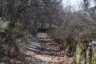
This route, which is suitable all year round, takes you there and back and has a more demanding final stretch. It is ideal for all of the family to admire the typical vegetation of the municipality of Candelario: oak trees, heather and broom shrubs are among the species that you will be able to see throughout the walk.
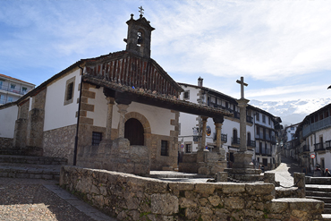
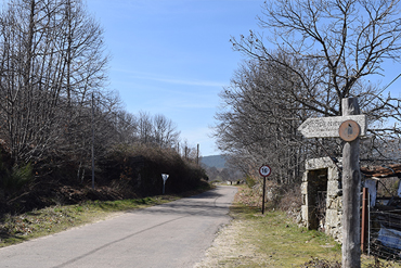
The route begins passing the Candelario natural pools, once you pass them, you will have to walk 750 metres to join the path which will appear at the right, indicating the beginning of this magnificent route signposted by a blue sign. This will make you leave the road which leads to the “Navamuño” reservoir, and the Dehesa de Candelario (a meadow) to the left.
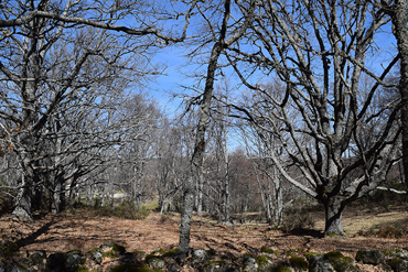
From the first step you take, it is worth noting the oak trees, which run alongside the path practically the whole way, for their state of conservation, their height and the density of woodland. About 475 metres from the start sign, you will find an impressive one hundred-year-old oak tree, ideal to take some incredible photos of this species.
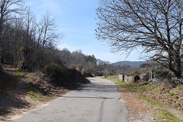
You will then continue along the trail, which is easy to follow, but depending on the time of year, it can be slippery due to the rocky stretches. We recommend that you do this walk in Spring or Autumn, when the vegetation blooms which makes this walk even more special.
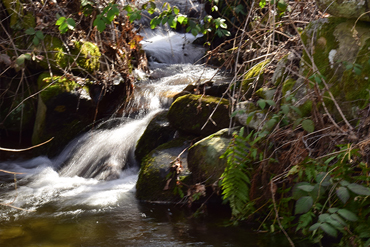
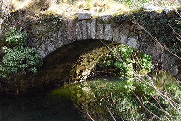
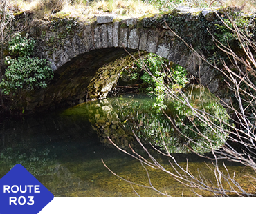
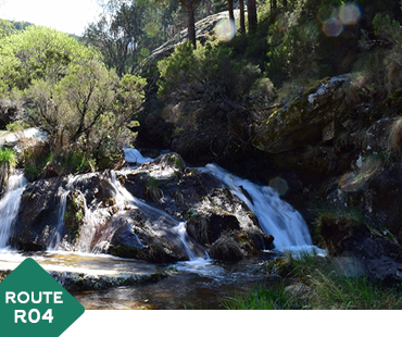
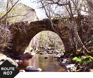
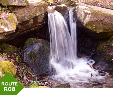
Slowly but surely, you will arrive at the main attraction of this route, the Puente Nueva (a bridge some 1345 metres from the start), where the “Cuerpo del Hombre” river makes for a good spot to take some incredible photographs and you can enjoy the flowing water; which is always relaxing. If you explore the area a little, you will find a small waterfall (a weir), worthy of a mention in this brief description. This is a good site to take a rest and build up strength before continuing with the final stretch of this route, which is more demanding than the walk so far.
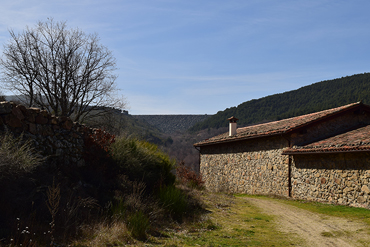
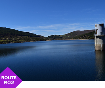
After taking time to enjoy the views at the Puente Nueva, you will start to ascend on the trail where heather and broom shrubs line the way, until you reach the rest area of the “Navamuño” reservoir where you will find different models which explain the operations and construction of the dam. On a sunny day, you will need to bring sun cream.
Finally, we can recommend several alternatives to this route, to enjoy a full day of hiking. You can link this walk with route 2: The “Navamuño” reservoir – “Llano Alto” (purple). Another possibility, when you reach the end of this route, is to turn left and follow the road which joins the reservoir with Candelario, you will arrive in Candelario at the “Humilladero” square, after a 5km ramble.
2.
INFO
TECHNICAL DATA
- Route type: Round trip
- Distance: 2.750 m Total: 5.500 m
- Time: 1 hours 40 minutes (no stops)
- Sing Post: Blue
- ***
- MIDE Proyect:
- Climb Grade:258 m
- Descent Grade:258 m
- Natural Environment Severity 2
- Guidance on the road 2
- Difficulty in displacement 2
- Effort required 2
- ***
- Recommended Time:
Spring / Summer / Autumn / Winter - Shade/Sun: 90%/10%
- ***
- Interest Points (viewpoint, sculpture, river...):
- Start : Candelario
- Interest Point 1: Hundred-year-old Oak Tree
- Interest Point 2: Puente Nueva
- Ending: Navamuño Reservoir
- ***
- Risky Points:
- Risky Point 1: Road
- ***
- Phone Numbers of Interest
- Phone Town Hall: 923 413 011
- Turism Office Phone: 923 413 420
- Emergency Phone: 112
- Police Phone: 062
- ***
- RECOMMENDATIONS
- Effort Required
- Drink water frequently and in small quantity
- Eat nuts or chocolate
- In the stops do not get cold
- Take your dog tied, there are cattle and wild animals
- Consult an environmental educator with knowledge of the environment
- Analyze the route according to your capacity
- Check the weather forecast
- Keep in good condition the roads and the walking trails. Avoid accidents, losses, and you must keep the beauty of the hiking routes
3.
INFO
READ BEFORE LEAVING
- PROHIBITIONS
- DO NOT light a fire and DO NOT cut firewood
- DO NOT leave or bury any kind of trash
- DO NOT change or remove elements from the natural environment
- DO NOT wash tools and cars in rivers, lakes, and streams
- DO NOT throw cigarettes into the natural environment
- DO NOT step on the land planted DO NOT cross the trails
- TIPS
- Hiking is not trekking, excursions or climbing
- Mandatory Individual Equipment You must wear mountain boots, socks and you must not forget water
- Sport Equipment
- . Breathable, Waterproof and Termal Sportswear, Pants and T-shirt
- . Capes, Raincoats
- . Warm Clothing (Gloves, Scart,..)
- . Hat or headscarf
- . Spare Clothes
- . Suitable footwear and spare socks
- Other necessary things (preventative)
- . Sunglasses
- . Sun Protection Cream
- . First aid kit
- . Walking sticks
- Provisioning
- . Water Bottle
- . Enough food
- Others
- . Backpack
- . Map of the area / Compass / GPS
- . Latern with backup battery
- . Mobile with backup battery
- . Reflective Vest
- OBLIGATIONS
- Follow the route and never leave the trail
- Respect the enclousures along the way. Remember that they own
- Wind and rain guard
- Use trash bins
- Use trash bins
- Camping at established locations
- Closes gates, bars and hut doors that you find
- Respect the sings
Routes by Candelario
In nature and urban
- Difficulty: LOW
- Duration aprox: 2 hours
- Distance: 7,2 KM - ROUND TRIP
- Videoguide English: VIEW
- Difficulty: LOW
- Duration aprox: 2:40 hours
- Distance: 9,2 KM - ROUND TRIP
- Videoguide English: VIEW
- Difficulty: LOW
- Duration aprox: 1:40 hours
- Distance: 5,5 KM - ROUND TRIP
- Videoguide English: VIEW
- Difficulty: AVERAGE
- Duration aprox: 1:25 hours
- Distance: 4,2 KM - ROUND TRIP
- Videoguide English: VIEW
- Difficulty: AVERAGE
- Duration aprox: 3 hours
- Distance: 9 KM - ROUND TRIP
- Videoguide English: VIEW
- Difficulty: LOW
- Duration aprox: 1:40 hours
- Distance: 5,8 KM - ROUND TRIP
- Videoguide English: VIEW
- Difficulty: LOW
- Duration aprox: 1:05 hours
- Distance: 3 KM - ROUND TRIP
- Videoguide English: VIEW
- Difficulty: LOW
- Duration aprox: Free
- Distance: CIRCULAR
- Videoguide English: VIEW
- Difficulty: LOW
- Duration aprox: 1:20 hours
- Distance: 4 KM - CIRCULAR
- Videoguide English: VIEW
