R07 Central Eléctrica La abeja - Llano Alto | Features
Route Technical Information
DIFFICULTY
MIDE Proyect: 2/2/2/2
DISTANCE
Round Trip Distance: 5.800 m
DURATION
Round Trip Duration: 1h 40min
SING POSTS
Route Indicative Signal Post: BLACK
LONGITUDINAL PROFILE
Grade 254 m
SHADE/SUN
50% / 50%
Information
Detailed Route Information
1.
INFO
PRESENTATION
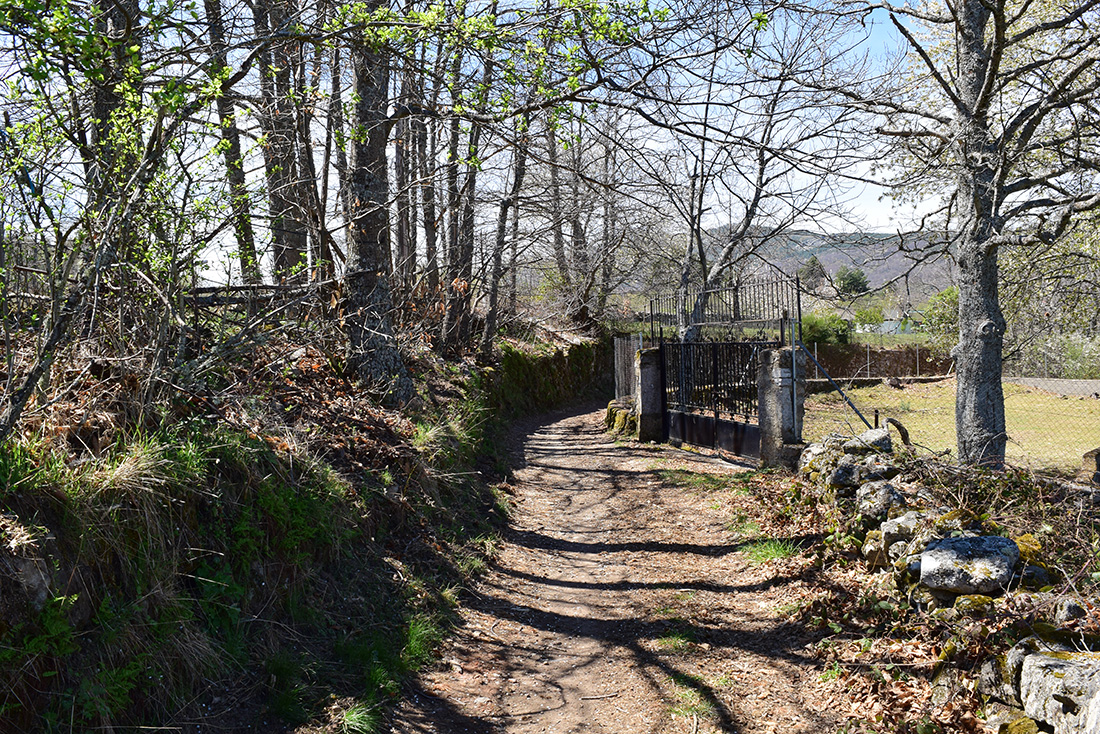
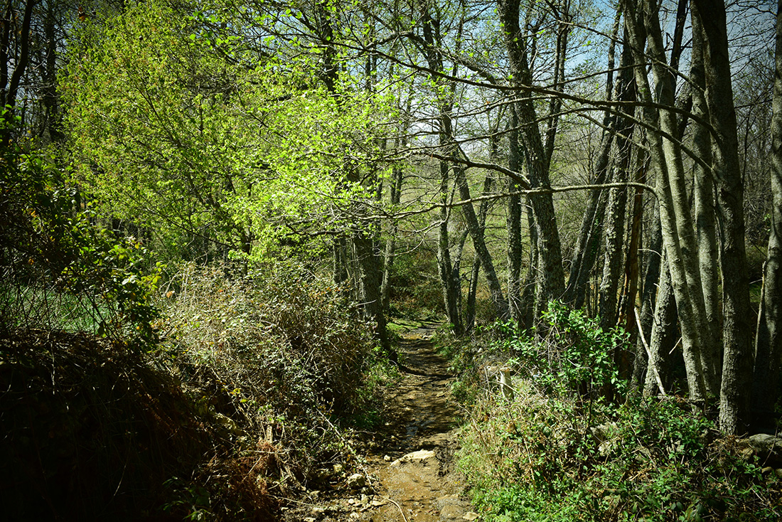
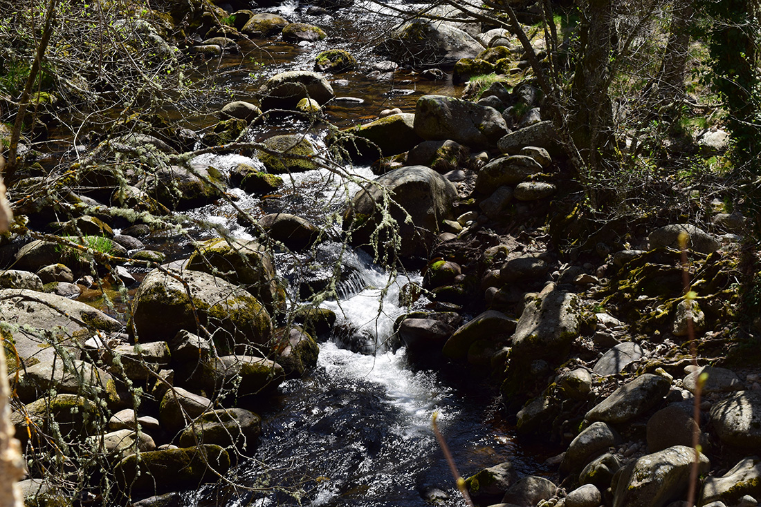
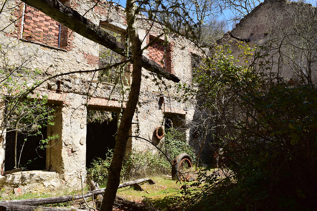
This route, which is suitable all year round, starts by passing the Candelario natural pools to your right, where you will find the start sign. Water is the main attraction of this walk, and its importance, which you will see along the river bank, as it is rich in vegetation. As well as being the main attraction, it is also the main risk; take care along the river bank if walking with children. You will follow the river bank practically the whole way to the “La Abeja” power station, which is totally abandoned nowadays.
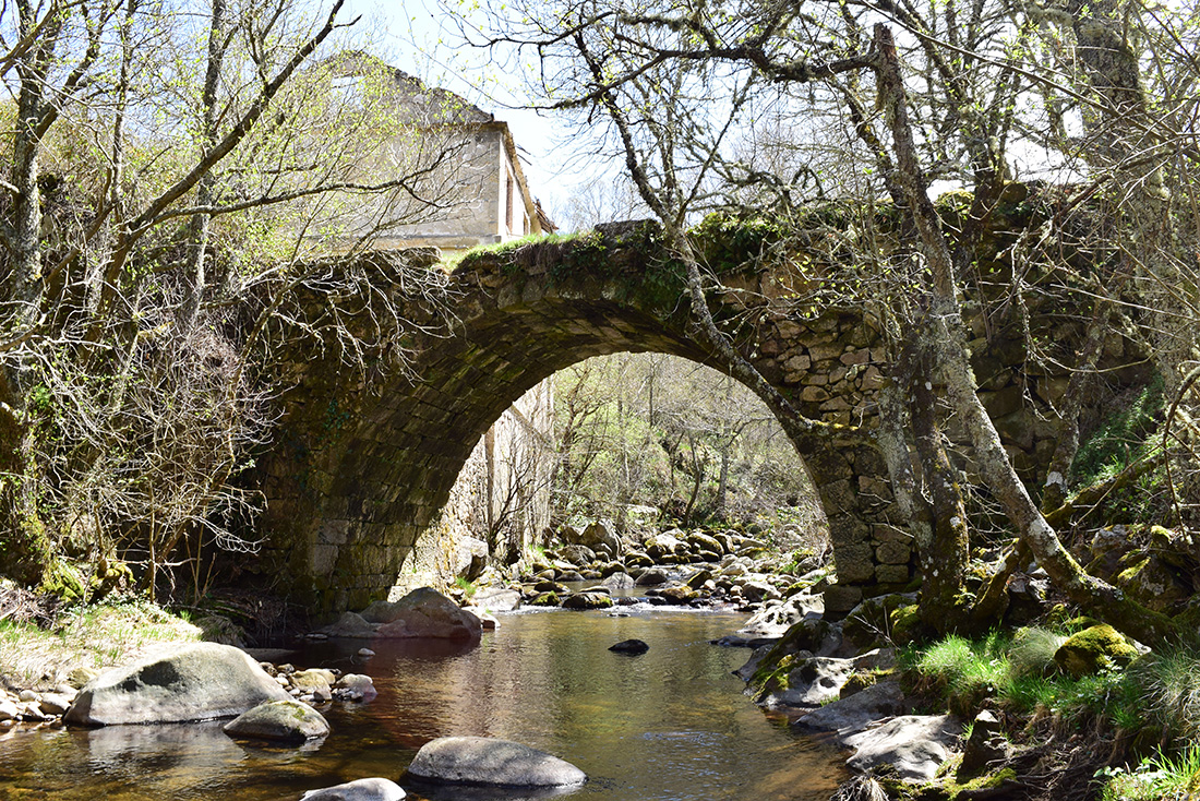
This trek begins along a narrow, unsteady surface; you will walk along a rocky path almost the whole way. Also throughout this walk, you will be able to admire small allotments and orchards, looked after by the residents of the neighbouring Candelario. Approximately half way through the walk (1015 metres from the start), you will arrive at the abandoned power plant, where some of the elements of this type of power station can still be seen today; waterfall piping, turbines where water generates electricity and where the water exits into the “Cuerpo del Hombre” River. This is a good place to take a rest and build strength for the climb ahead, which despite being short, can be tiring if you’re not physically prepared.
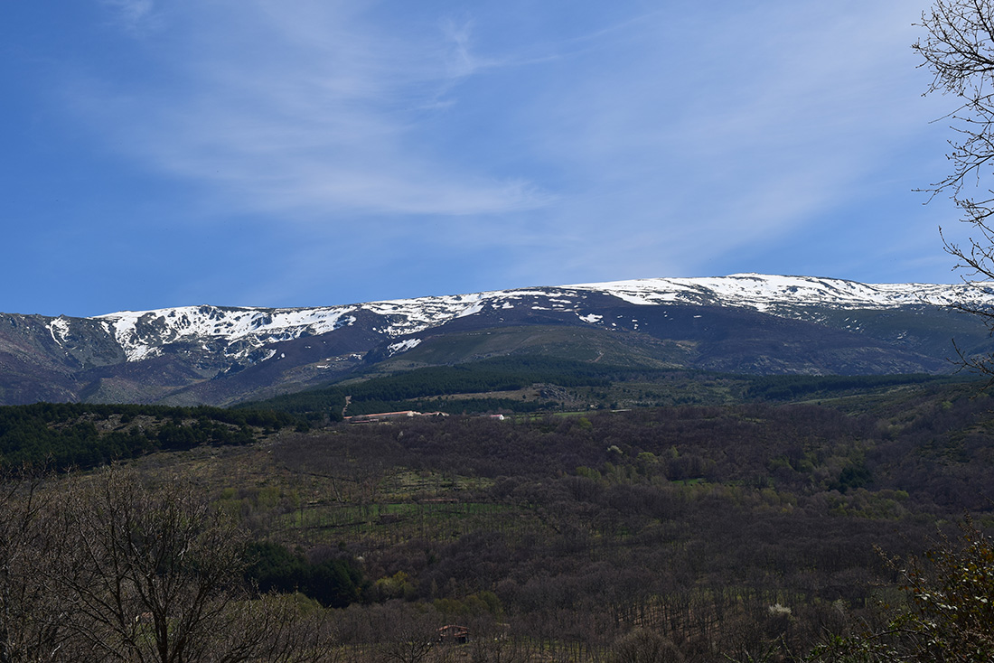
You will then continue with the walk, leaving the power station behind, climbing bit by bit along a narrow path, you will be able to see several cattle farms along both sides of the path, and be able to contemplate the prominent bovine cattle history of this Candelario mountain range. Be sure to treat the things you find along the way (gates, walls, fountains etc.) with respect and leave them as you found them.
When you have completed the ascent, you will arrive at a wider track, where you will turn right and will not leave this trail until you reach the “Albergue de Llano Alto” (youth hostel), belonging to the autonomous community of Castilla y Léon. From here, we recommend that you head towards the the “Santuario del Castañar” (a shrine), as you will end up in the autonomous community of Béjar (to make this route circular, with this alternative option, you will walk 5,100 metres along the road).
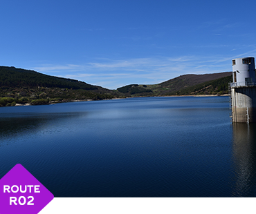
There is another alternative to finish this route and make it circular; you can opt to start route 2: Navamuño reservoir – Llano Alto (purple), when you arrive at the hostel. After travelling 4600 metres you will arrive at the Navamuño Reservoir. From there, you will have to go along the road which will take you to the entrance of Candelario near the natural pools (the distance along the road until you reach your start point is 4500 metres).
2.
INFO
TECHNICAL DATA
- Route type: Round trip
- Distance: 2.900 m Total: 5.800 m
- Time: 1 hour 40 minutes (no stops)
- Sing Post: Black
- ***
- MIDE Proyect:
- Climb Grade:254 m
- Descent Grade:254 m
- Natural Environment Severity 2
- Guidance on the road 2
- Difficulty in displacement 2
- Effort required 2
- ***
- Recommended Time:
Spring / Summer / Autumn / Winter - Shade/Sun: 90%/10%
- ***
- Interest Points (viewpoint, sculpture, river...):
- Start : Candelario
- Interest Point 1: La Abeja Power Station
- Interest Point 2: Llano Alto Shelter
- ***
- Phone Numbers of Interest
- Phone Town Hall: 923 413 011
- Turism Office Phone: 923 413 420
- Emergency Phone: 112
- Police Phone: 062
- ***
- RECOMMENDATIONS
- Effort Required
- Drink water frequently and in small quantity
- Eat nuts or chocolate
- In the stops do not get cold
- Take your dog tied, there are cattle and wild animals
- Consult an environmental educator with knowledge of the environment
- Analyze the route according to your capacity
- Check the weather forecast
- Keep in good condition the roads and the walking trails. Avoid accidents, losses, and you must keep the beauty of the hiking routes
3.
INFO
READ BEFORE LEAVING
- PROHIBITIONS
- DO NOT light a fire and DO NOT cut firewood
- DO NOT leave or bury any kind of trash
- DO NOT change or remove elements from the natural environment
- DO NOT wash tools and cars in rivers, lakes, and streams
- DO NOT throw cigarettes into the natural environment
- DO NOT step on the land planted DO NOT cross the trails
- TIPS
- Hiking is not trekking, excursions or climbing
- Mandatory Individual Equipment You must wear mountain boots, socks and you must not forget water
- Sport Equipment
- . Breathable, Waterproof and Termal Sportswear, Pants and T-shirt
- . Capes, Raincoats
- . Warm Clothing (Gloves, Scart,..)
- . Hat or headscarf
- . Spare Clothes
- . Suitable footwear and spare socks
- Other necessary things (preventative)
- . Sunglasses
- . Sun Protection Cream
- . First aid kit
- . Walking sticks
- Provisioning
- . Water Bottle
- . Enough food
- Others
- . Backpack
- . Map of the area / Compass / GPS
- . Latern with backup battery
- . Mobile with backup battery
- . Reflective Vest
- OBLIGATIONS
- Follow the route and never leave the trail
- Respect the enclousures along the way. Remember that they own
- Wind and rain guard
- Use trash bins
- Use trash bins
- Camping at established locations
- Closes gates, bars and hut doors that you find
- Respect the sings


Routes around Candelario
In nature and urban
- Difficulty: LOW
- Duration aprox: 2 hours
- Distance: 7,2 KM - ROUND TRIP
- Videoguide English: VIEW
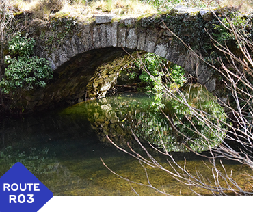
- Difficulty: LOW
- Duration aprox: 2:40 hours
- Distance: 9,2 KM - ROUND TRIP
- Videoguide English: VIEW
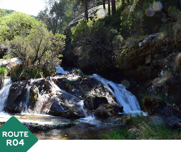
- Difficulty: LOW
- Duration aprox: 1:40 hours
- Distance: 5,5 KM - ROUND TRIP
- Videoguide English: VIEW
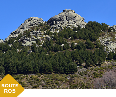
- Difficulty: AVERAGE
- Duration aprox: 1:25 hours
- Distance: 4,2 KM - ROUND TRIP
- Videoguide English: VIEW
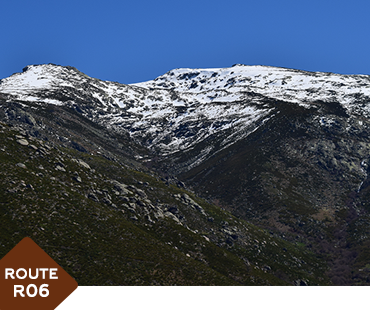
- Difficulty: AVERAGE
- Duration aprox: 3 hours
- Distance: 9 KM - ROUND TRIP
- Videoguide English: VIEW
- Difficulty: LOW
- Duration aprox: 1:40 hours
- Distance: 5,8 KM - ROUND TRIP
- Videoguide English: VIEW
- Difficulty: LOW
- Duration aprox: 1:05 hours
- Distance: 3 KM - ROUND TRIP
- Videoguide English: VIEW
- Difficulty: LOW
- Duration aprox: Free
- Distance: CIRCULAR
- Videoguide English: VIEW
- Difficulty: LOW
- Duration aprox: 1:20 hours
- Distance: 4 KM - CIRCULAR
- Videoguide English: VIEW